Technology Development
KG Engineering strives to reinforce the digital technology competence of construction
engineering with endless thinking, transformation and challenge in order to be equipped
with competitiveness regarding new environmental change called construction technology
innovation through ICT in line with the 4th industrial revolution era.
Moreover, it is ceaselessly engaged in R&D in digital convergence technology of
infrastructure construction engineering such as roads, railways, complexes,
streams, water supply and drainage.
KG Engineering strives to reinforce the digital
technology competence of construction
engineering with endless thinking,
transformation and challenge in order to be
equipped with competitiveness regarding new
environmental change called construction
technology innovation through ICT in line with
the 4th industrial revolution era.
Moreover, it is ceaselessly engaged in R&D in
digital convergence technology of infrastructure
construction engineering such as roads,
railways, complexes, streams, water supply and
drainage.
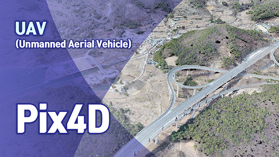
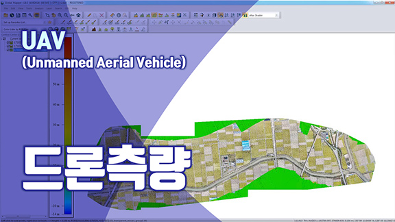
UAV (Unmanned Aerial Vehicle)
UAV
(Unmanned Aerial Vehicle)
- UAV flight permit and operation of
filming approval works - Production of ultra-precision
projection images - 3D modeling and Point Cloud
- 3D vectorizing and production of
topographical digital map
Order of drone measurement work
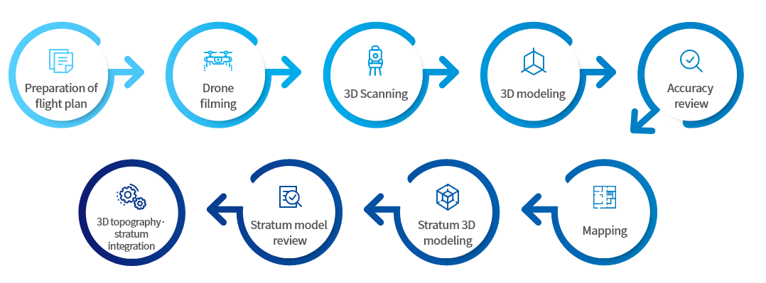
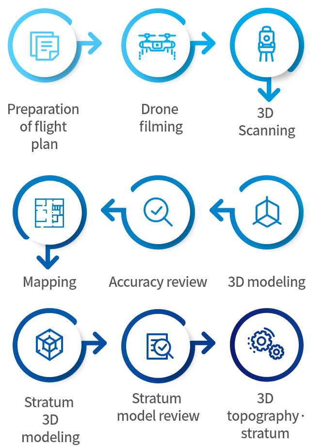
- Digital topographic map similar to performance that is created by mapping work in aerial survey
- Work of 3D Point Cloud (set of X, Y elevation or Cartesian coordinates), a high precision DEM
Video of drone utilization
Go to YouTube
KG-Project (BIM S/W development)
KG-Project
(BIM S/W development)
KG-Project BIM S/W maximizes the engineer’s unique technical value and competence.
Autodesk Civil 3D 3rd Party S/W development project for perfect realization of topography-based BIM design such as road design alignment and earthworks, earthworks for complex design, rainwater and wastewater, waterworks, railway design alignment and earthworks, etc. which is the first process for full-scale BIM design conforming to the domestic design standard.
- Road alignment and earthwork design S/W
- KGRoad 2.0 developed, supplied
- KGRoad 3.0 being developed
- It is a powerful road design 3rd Party program based on Civil 3D engine
- Not only domestic road design standards are reflected but also, the connectivity with other BIM programs (4D, 5D, etc.) and expandability are diverse, as well
- Contours and digital maps are automatically produced on ground surface and projection image outcome is inserted
- Rock ground surface is produced and edited by using longitudinal and cross-sectional rock line
- Access road (interchange) alignment design, Corridor slope overlapping
- Alignment output using V World, Google Earth
- Realizes 3D-based blast influence circle, earthwork movement (sediment yield graph) and earthwork quantity calculation output
- Complex earthworks, rainwater and wastewater, water supply design S/W
- KGLand 1.0 being developed
- It is a powerful complex design 3rd Party program based on Civil 3D engine
- Resolves earthworks quantity movement issues 100% which couldn’t be materialized in the existing Civil 3D
- Not only domestic complex design standards are reflected but also, design period can be shortened as the complicated and inconvenient work process of Civil 3D users has been simplified
- Realizes automation of intersection, corner, blast influence circle, rainwater hydraulic calculation